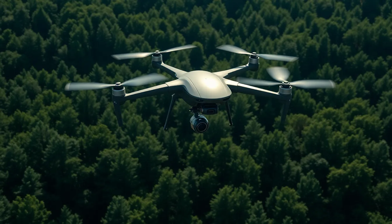
In a world where precision is king, lidar drones are taking center stage like a rock star at a sold-out concert. These high-flying marvels use laser technology to map landscapes with jaw-dropping accuracy, making them the go-to tool for industries ranging from construction to environmental monitoring. If you’ve ever wished you could see the world from above—and with the clarity of a hawk’s eye—then you’re in for a treat.
Understanding Lidar Drones
Lidar drones use advanced laser technology to gather precise data. Their capability to create detailed maps makes them essential in various sectors.
What Is Lidar Technology?
Lidar stands for Light Detection and Ranging. This technology employs laser pulses to measure distances between the sensor and the ground. As the laser beams hit surfaces, they return data that helps in calculating elevations and topographies. Various applications include vegetation analysis, flood modeling, and urban planning. Lidar systems deliver high-resolution 3D models, providing insight that traditional methods often miss. These models yield valuable information for professionals in fields such as agriculture, forestry, and geology.
How Lidar Drones Work
Lidar drones integrate laser scanning systems with UAV technology. These drones fly over designated areas, firing thousands of laser pulses per second. Each pulse measures the time it takes to return after hitting an object. This information generates accurate elevation data for mapping landscapes. Drones equipped with GPS and inertial measurement units ensure precise positioning while capturing data. The integration of these systems enhances efficiency and reduces time spent on ground surveys. Lidar drones can cover large areas quickly, making them advantageous for projects requiring extensive data collection.
Applications of Lidar Drones
Lidar drones serve various applications across multiple sectors, harnessing their ability to deliver accurate data efficiently.
Mapping and Surveying
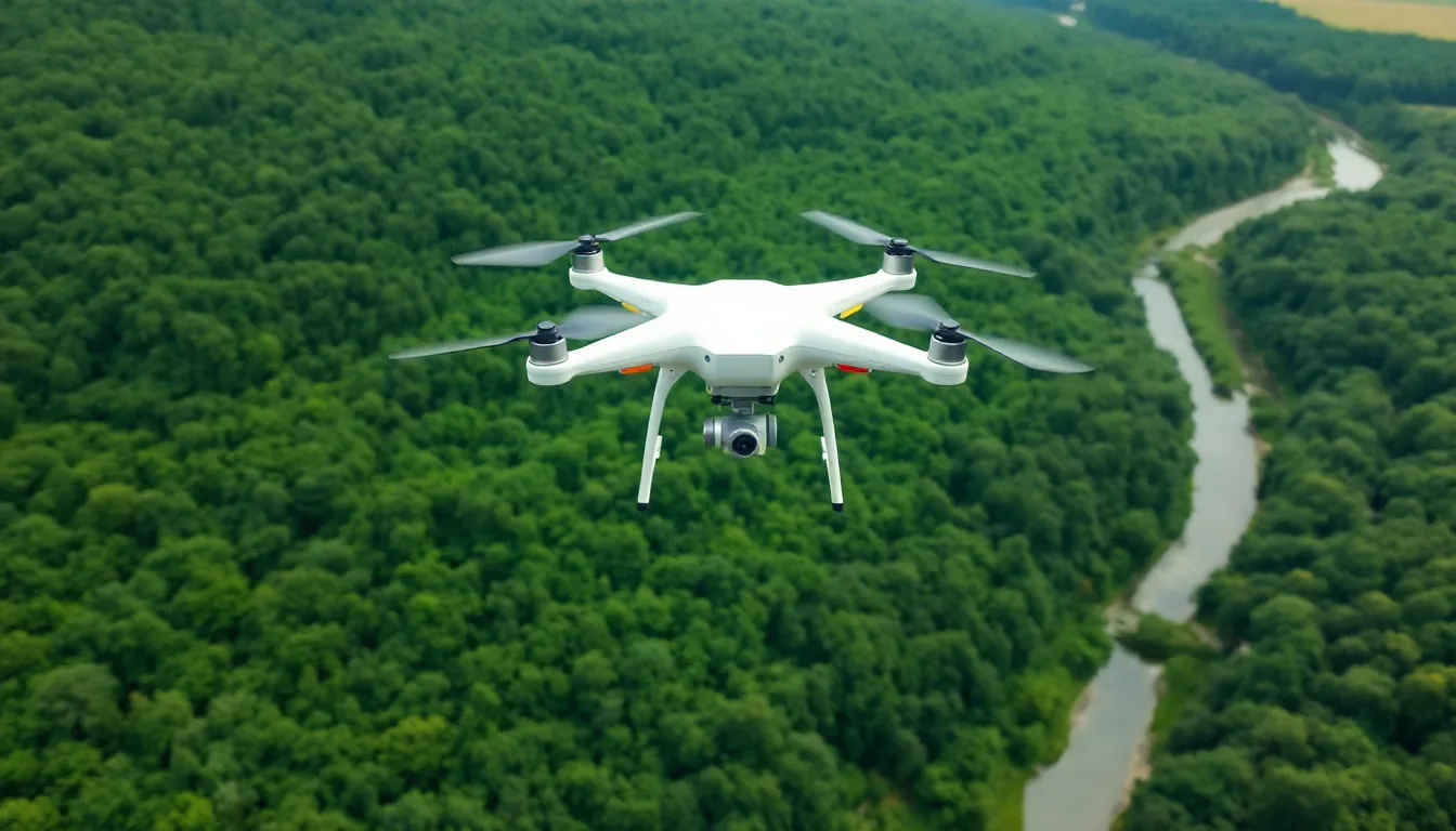
Mapping and surveying processes benefit significantly from lidar drones. They create detailed topographical maps by capturing high-resolution data over large areas. Surveyors use this data to analyze land features and plan construction projects. Accuracy levels exceed those of traditional ground surveys, reducing the chance of errors. Many industries, such as real estate and forestry, rely on these precise maps to inform decision-making and land use planning. Utilizing lidar drones streamlines the entire mapping process, lowering costs and improving turnaround times.
Environmental Monitoring
Environmental monitoring relies heavily on lidar drones to assess ecosystems and track changes. These drones measure vegetation density and canopy height, providing insights into biodiversity. Researchers monitor riverbanks and flood zones to predict potential flooding events using real-time data. Wildlife management professionals can assess habitat health, enabling more effective conservation strategies. Engaging with lidar technology allows for a better understanding of ecological dynamics, fostering more informed environmental protection initiatives.
Infrastructure Inspection
Infrastructure inspection gains efficiency with lidar drones. They quickly assess bridges, power lines, and roadways for maintenance needs. Drones capture high-resolution 3D models, allowing inspectors to identify structural issues without extensive manual labor. This method enhances safety, as it minimizes the need for personnel to work in hazardous locations. Many civil engineering firms adopt lidar technology to streamline their inspection processes, resulting in timely repairs and upkeep of critical infrastructure.
Advantages of Lidar Drones
Lidar drones offer numerous advantages that elevate their effectiveness across various industries. Their capabilities transform project outcomes and operational frameworks.
High-Accuracy Data Collection
High accuracy characterizes data collected by lidar drones. Laser pulses measure distances with precision, generating detailed 3D models. Traditional ground surveys often miss important details, whereas lidar technology captures features like vegetation height and surface elevation consistently. This accuracy benefits sectors such as agriculture and urban planning, where even minor variances in data can significantly impact decision-making.
Time and Cost Efficiency
Time efficiency proves essential when employing lidar drones. Drones complete large-scale surveys quickly, often in a fraction of the time required for conventional methods. Cost reductions accompany this efficiency, as fewer personnel and limited equipment translate into substantial savings. Quick data acquisition allows projects to move forward without delays, fostering faster decision-making and streamlining workflows.
Safety Benefits
Safety remains a top priority with lidar drone use. Drones assess hazardous areas without exposing personnel to risks. Inspecting infrastructure such as bridges and power lines becomes safer as drones navigate these environments autonomously. Furthermore, high-resolution images captured by lidar drones help identify potential issues early, allowing for timely maintenance and enhancing overall safety.
Challenges and Limitations
Lidar drones face several challenges and limitations that impact their effectiveness across various applications.
Weather Sensitivity
Weather sensitivity poses significant challenges for lidar drones. Adverse conditions such as heavy rain, snow, or strong winds can hinder data collection accuracy. High humidity affects laser pulse transmission, often leading to poor-quality results. Fog also reduces visibility, complicating data interpretation. Optimal flying conditions typically involve clear skies and minimal wind, which aren’t always achievable. These environmental factors limit operational windows for drone deployments, necessitating careful planning and time management.
Regulatory Compliance
Regulatory compliance creates obstacles for widespread lidar drone usage. Operators must navigate strict regulations governing airspace and drone operations. In many areas, obtaining permits requires extensive documentation and adherence to safety guidelines. Local, state, and federal regulations vary, complicating cross-border operations. Operators must also ensure compliance with data privacy laws, as lidar technology collects detailed geographical information. Meeting these regulatory requirements often increases project timelines and costs, posing a challenge for operators in rapidly evolving industries.
Future Trends in Lidar Drones
Advancements in lidar drone technology promise to enhance data collection capabilities and operational efficiency. Companies are integrating artificial intelligence and machine learning algorithms into lidar systems, fostering improved data analysis and interpretation. New sensors are emerging that allow for greater sensitivity and enhanced range, capturing details at unprecedented levels. Integration with real-time data processing speeds up decision-making processes, making project execution more dynamic. These advancements position lidar drones as crucial assets for industries needing quick and precise information.
Increasing industry adoption of lidar drones reflects their growing importance in various sectors. Construction firms rely on these drones for site surveys, streamlining workflows and improving project accuracy. Environmental agencies use lidar drones to monitor ecosystems, track changes, and support conservation efforts. Government agencies are also increasing their investment in this technology to enhance infrastructure assessments and urban planning. As more industries recognize the benefits of lidar drones, investment and research in this field will undoubtedly accelerate, shaping the future landscape across multiple domains.
Lidar drones are revolutionizing how industries approach data collection and analysis. Their ability to provide precise topographical maps and detailed 3D models enhances decision-making across sectors like construction and environmental monitoring. As technology advances, the integration of AI and real-time data processing will further improve efficiency and accuracy.
Despite challenges such as weather sensitivity and regulatory hurdles, the benefits of lidar drones are undeniable. They not only streamline processes but also enhance safety and reduce costs. As adoption continues to grow, lidar drones are set to play an even more critical role in shaping the future of various industries, paving the way for innovative solutions and improved outcomes.