
Drones vs traditional methods, it’s a debate shaping industries from photography to agriculture. These unmanned aerial vehicles have changed how businesses collect data, inspect infrastructure, and capture images. But are drones always the better choice? The answer depends on the task, budget, and specific requirements at hand.
This comparison breaks down how drones stack up against helicopters, satellites, and manual inspections. Each method has strengths and limitations. Understanding these differences helps organizations make smarter decisions about which technology fits their needs.
Table of Contents
ToggleKey Takeaways
- Drones vs helicopters favors drones for cost-effective aerial photography, charging $150-$500 per hour compared to $1,500-$3,000 for helicopters.
- Drones capture images at 1-2 centimeter resolution, far surpassing satellite imagery’s typical 30-50 centimeter resolution for detailed mapping.
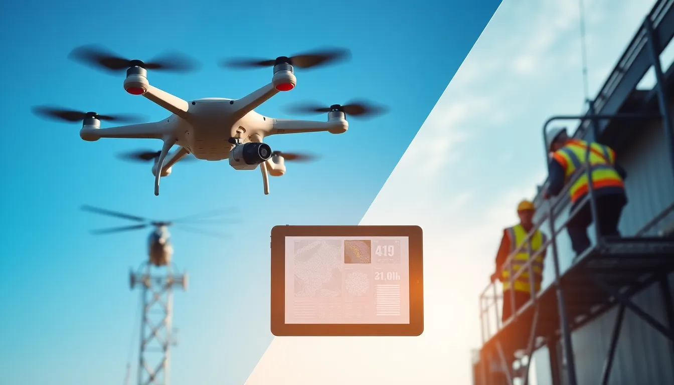
- Industrial drone inspections reduce time by up to 90% while eliminating dangerous climbs for workers inspecting towers, bridges, and power lines.
- Drones vs traditional methods shows drones excel at accessing tight spaces, flying between buildings and under bridges where helicopters cannot operate.
- Professional drone equipment costs $5,000-$50,000+ depending on specialization, but operating costs remain significantly lower than alternatives.
- Many organizations achieve the best results by combining drones with other methods—using satellites for broad coverage and drones for detailed, site-specific data.
What Are Drones and How Do They Work
Drones, also called unmanned aerial vehicles (UAVs), are aircraft that operate without a human pilot onboard. They range from small consumer models to large commercial systems. Most drones use four or more rotors to achieve stable flight, though fixed-wing designs exist for longer-range missions.
A typical drone system includes three main components: the aircraft itself, a ground-based controller, and a communication link between them. Operators control drones remotely using radio signals, or they program autonomous flight paths using GPS coordinates.
Modern drones carry various payloads depending on their purpose. Camera systems capture photos and video. LiDAR sensors create detailed 3D maps. Thermal imaging detects heat signatures. Some industrial drones even carry tools for tasks like crop spraying or package delivery.
Battery life limits most consumer and commercial drones to 20-45 minutes of flight time. Larger drones with fuel engines can stay airborne for hours. This flight duration affects which tasks drones can handle effectively compared to other methods.
Drones vs Helicopters for Aerial Photography
Drones vs helicopters presents an interesting matchup for aerial photography. Both platforms capture stunning images from above, but they serve different needs.
Helicopters offer longer flight times and can carry heavier, cinema-grade camera equipment. A helicopter can stay in the air for 2-4 hours and reach remote locations quickly. Film productions and news organizations still rely on helicopters for certain shots.
Drones win on cost and accessibility. Renting a helicopter with a pilot and camera operator costs $1,500-$3,000 per hour. A professional drone operator charges $150-$500 per hour. For real estate photography, event coverage, and short projects, drones deliver excellent results at a fraction of the price.
Drones also access spaces helicopters cannot. They fly between buildings, under bridges, and close to structures. This proximity creates dynamic shots impossible from a full-sized aircraft. Wedding photographers and real estate agents have embraced drones for this reason.
Safety factors into this comparison too. Drones pose less risk when something goes wrong. A crashed drone causes property damage: a crashed helicopter threatens lives. Many venues now prefer drones vs helicopters for insurance reasons alone.
But, drones struggle in bad weather. Strong winds ground most consumer models. Helicopters handle moderate weather conditions better, making them more reliable for time-sensitive projects.
Drones vs Satellites for Mapping and Surveillance
The drones vs satellites debate centers on resolution, timing, and coverage area. Each technology serves distinct mapping and surveillance purposes.
Satellites cover vast areas in single passes. A single satellite image can capture entire cities or regions. This broad coverage suits applications like weather monitoring, deforestation tracking, and large-scale agricultural assessment. Satellite imagery updates range from daily to weekly depending on the service.
Drones excel at high-resolution, on-demand data collection. A drone flying at 400 feet captures images at 1-2 centimeter resolution. Satellite imagery typically offers 30-50 centimeter resolution at best. This detail matters for construction site monitoring, precision agriculture, and infrastructure inspection.
Timing gives drones another advantage. Ordering custom satellite imagery takes days or weeks. A drone operator can deploy within hours and deliver processed data the same day. Emergency response teams prefer drones for this rapid deployment capability.
Cost structures differ significantly. Commercial satellite imagery costs $10-$25 per square kilometer. Drone surveys cost more per area covered but provide far superior detail. For small sites under 100 acres, drones typically prove more economical.
Cloud cover affects satellites but not drones. Satellites cannot see through clouds, limiting their usefulness in certain climates. Drones fly below cloud layers and capture clear imagery regardless of conditions above.
Many organizations now use both technologies together. Satellites provide broad context while drones deliver detailed site-specific data.
Drones vs Manual Inspections in Industry
Industrial inspection represents one of the strongest cases for drones vs traditional methods. Manual inspections of bridges, power lines, wind turbines, and cell towers require workers at dangerous heights.
Safety improvements drive drone adoption in this sector. Falls remain a leading cause of workplace deaths. A drone inspection eliminates the need for workers to climb structures or work near high-voltage equipment. Insurance companies now offer reduced premiums to companies using drones for inspections.
Time savings prove substantial. A manual inspection of a cell tower takes 4-6 hours including setup and safety protocols. A drone completes the same inspection in 15-30 minutes. Power companies report 90% reductions in inspection time when using drones.
Data quality often improves with drones. Thermal cameras detect electrical hotspots invisible to human inspectors. High-resolution imagery captures cracks and corrosion that eyes might miss. Drones create consistent, repeatable inspection records for compliance documentation.
Manual inspections still have their place. Complex repairs require human hands. Some confined spaces cannot accommodate drones. Experienced inspectors bring judgment that automated systems lack. The best approach often combines drone reconnaissance with targeted manual follow-up.
Regulations affect drone use in industrial settings. Operators need proper certifications, and some facilities require special permissions. These requirements add planning time but rarely outweigh the benefits.
Cost and Efficiency Considerations
Understanding costs helps organizations choose between drones vs other methods. The financial picture includes equipment, operation, and hidden expenses.
Drone equipment costs range widely. Consumer drones start under $500. Professional mapping drones cost $5,000-$20,000. Specialized industrial drones with thermal sensors or LiDAR exceed $50,000. Training and certification add $1,000-$3,000 to startup costs.
Operating costs favor drones in most comparisons. Helicopter fuel alone costs $200-$400 per hour. Drone batteries cost pennies per flight. Maintenance requirements are lower, and fewer personnel are needed per mission.
Efficiency gains multiply across repeated tasks. A utility company inspecting thousands of power poles sees enormous savings switching from bucket trucks to drones. Real estate agencies photographing multiple properties daily recover drone costs within months.
Hidden costs deserve attention. Drone regulations require ongoing compliance efforts. Weather delays affect project timelines. Battery replacement every 200-300 cycles adds up. Software subscriptions for mapping and analysis run $100-$500 monthly.
Return on investment calculations should include indirect benefits. Faster inspections mean less downtime. Better data reduces repair mistakes. Improved safety lowers insurance and liability costs. These factors often tip decisions toward drones even when direct costs appear similar.


